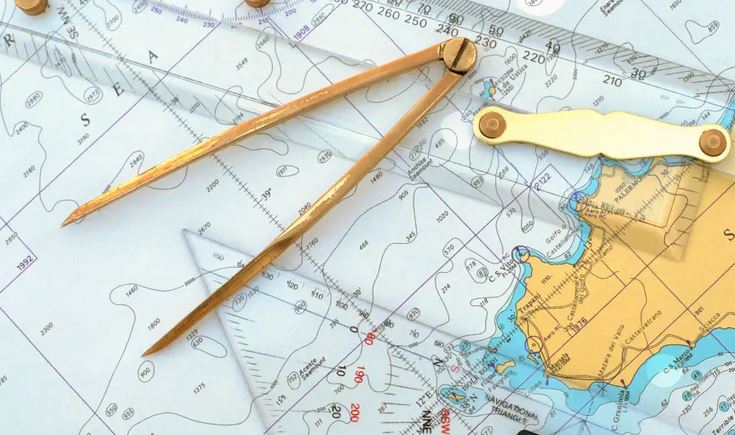
Fuel efficiency, route optimization, and smart voyage planning.
Discover MoreInstantly determine the distance between any ports worldwide.
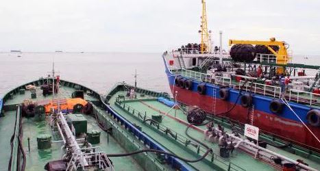
Compute fuel needs for various fuel types including DO, FO, LNG, ethanol, etc...
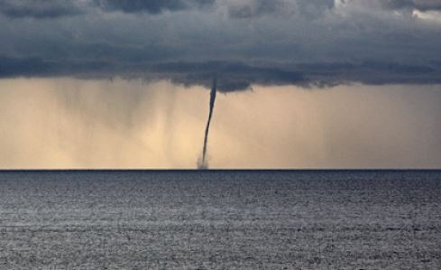
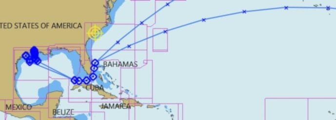
Optimize routes based on real-time weather forecasts.
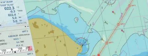
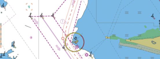
Enhance navigation efficiency with ECDIS data and interactive route planning.
Upload ECDIS files to calculate distances based on accurate navigation charts.
Define routes on an interactive map by placing waypoints and setting speeds.
Generate and download PDF and Excel reports with voyage summaries.
Sign up now and optimize your maritime logistics like never before.
Sign Up Now